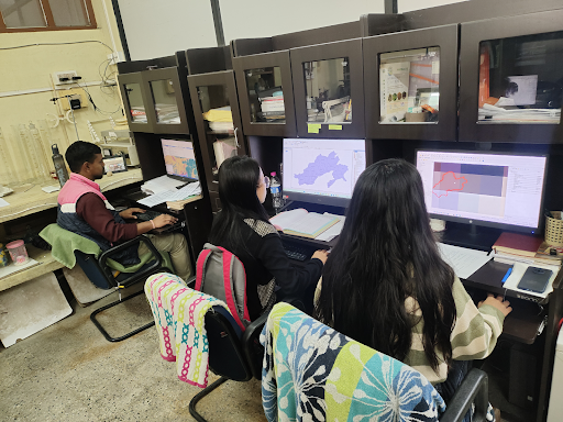
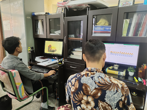
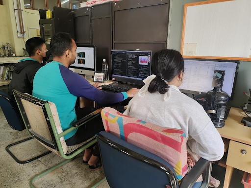
The Remote Sensing and GIS Climate Research Laboratory of NERIST has extensive experience in performing various tasks related to geospatial analysis and environmental studies. These tasks include glacier surface area mapping, Equilibrium Line Altitude (ELA) extraction on glaciers, soil loss estimation using the Revised Universal Soil Loss Equation (RUSLE), evaluation of land use/land cover (LULC) change analysis and future projections, high-altitude waterbody mapping and temporal analysis, flood vulnerability assessment using Analytical Hierarchy Process (AHP), Topographical Wetness Index (TWI) and Multi-Criteria Decision Analysis (MCDA), flood inundation mapping using SAR and optical data, as well as impact studies of climate change on hydrological components using various hydrological models.


To performs these tasks, the lab utilizes a diverse set of software tools, including ArcMap desktop, ArcGIS Pro, QGIS, TerrSet, eCognition, Python, R-studio, C and C++, ERDAS Imagine, and SNAP. Additionally, recent advancements such as web-based tools like Google Earth Engine (GEE) and Google Colab are also utilized. For the impact assessment of climate change on hydrological components, various hydrological models are employed including ArcSWAT, SDSGRM, MIKE SHE, MIKE Hydro, HEC-HMS, and RHESSys.
Glacier surface area mapping is conducted using methods such as Normalised Difference Snow Index (NDSI), single band ratios of Red/SWIR and NIR/SWIR, and Automatic glacier extraction index (AGEI). The most effective approach was found to be AGEI, validated against the RGI, particularly in the basins of eastern Himalayan region.
Extraction of ELA on a glacier was performed using Equilibrium Line Altitude (ELA) ArcToolbox, which consists of methods like Area Altitude (AA), Mean Glacier Elevation (MGE), Accumulation Area Ratio (AAR) and Area Altitude Balance Ratio (AABR) method. Additionally, Otsu thresholding was also employed in ArcGIS pro for demarcation of accumulation and ablation zones. Otsu was applied on corrected NIR band to separate accumulation and ablation zone on glacier surface are used for the extraction of ELA on a glacier.
Soil loss estimation is carried out using Revised Universal Soil Loss Equation (RUSLE) in the ArcGIS environment. Spatio-temporal variation of soil loss is also estimated to visualize the distribution of soil loss in the region. The soil loss was estimated for Dibang basin of Arunachal Pradesh and work in ongoing on for the entire Arunachal Pradesh.
Land use/land cover (LULC) change analysis is carried out for Pare River Basin, a region experiencing significant development and disturbances in Arunachal Pradesh. The study utilizes a combination of Markov Chain (MC) and hybrid Cellular Automata (CA), known as CA-MC model, for future projections of LULC on a spatial scale. While the model is calibrated using multi-layer perceptron (MLP) algorithm. For calibration and validation of CA-MC model historical LULC map is used, which is generated using machine learning algorithm, specifically Support Vector Machine (SVM) in the Google Earth Engine (GEE) environment.
High altitude waterbodies are mapped using machine learning (ML), specifically, the random forest algorithm in the Google Earth Engine (GEE) environment. Various traditional approach such as multiband thresholding and object-based analysis (OBIA) are also tested. Multiband thresholding is carried in GEE while OBIA is performed in eCognition. This study also uses SAR data to show its effectiveness in waterbody mapping. High altitude waterbody mapping was carried out for the basins of eastern Himalayan.
Flood vulnerability analysis is carried out using the AHP, TWI and MCDA approach, incorporating various thematic layers such as elevation, slope, drainage density, proximity to river, rainfall, population, and population density. Flood vulnerability assessment was performed for Tlwang River Basin of Mizoram and Pare River Basin of Arunachal Pradesh, utilizing optical datasets along with censes data.
Given the frequent occurrence of floods in North Eastern India, rapid mapping is essential for effective management. Flood inundation mapping using SAR datasets such as Sentinel-1 C-band SAR, is performed using manual/automatic thresholding techniques. Sentinel-1 data is pre-processed in the Sentinel Application Platform (SNAP), and thresholding is carried out using either manual thresholding or the Otsu automatic thresholding method. Otsu thresholding was performed in python environment.
Study the impact of climate change on the various hydrological components is the main aim of the RS-GIS climate research laboratory of NERIST. The future projected climate data of CMIP-5/CMIP-6 with integration of observed data is used in the hydrological models to identify the future impacts. The impact of climate changes is triggered by the anthropogenic disturbance, so the impact of anthropogenic disturbance specifically change in LULC pattern on climate variables and hydrological components on Eastern Himalaya region are also part of current research.